Post-Tropical Cyclone Rachel is bringing light rain and sharply cooler temperatures to Camarillo and Moorpark through Monday after making landfall in northern Baja California on Saturday night, Oct. 10.
The storm hit with maximum sustained winds of 60 mph, the National Hurricane Center said. By 5 a.m. Sunday, Oct. 11, the weakened system was pushing through the California desert with winds down to about 40 mph and fading, according to the Los Angeles Times.
Rachel is the third tropical system to brush Southern California in six weeks, following Hurricane Marie over Labor Day and Hurricane Polo, the New York Post reported.
As we reported Oct. 8, the storm was expected to track south of the area.
That forecast held. Rachel's landfall in Mexico left Southern California on the less-windy side of the system, the San Francisco Chronicle reported. San Diego's strongest gust was just 36 mph.
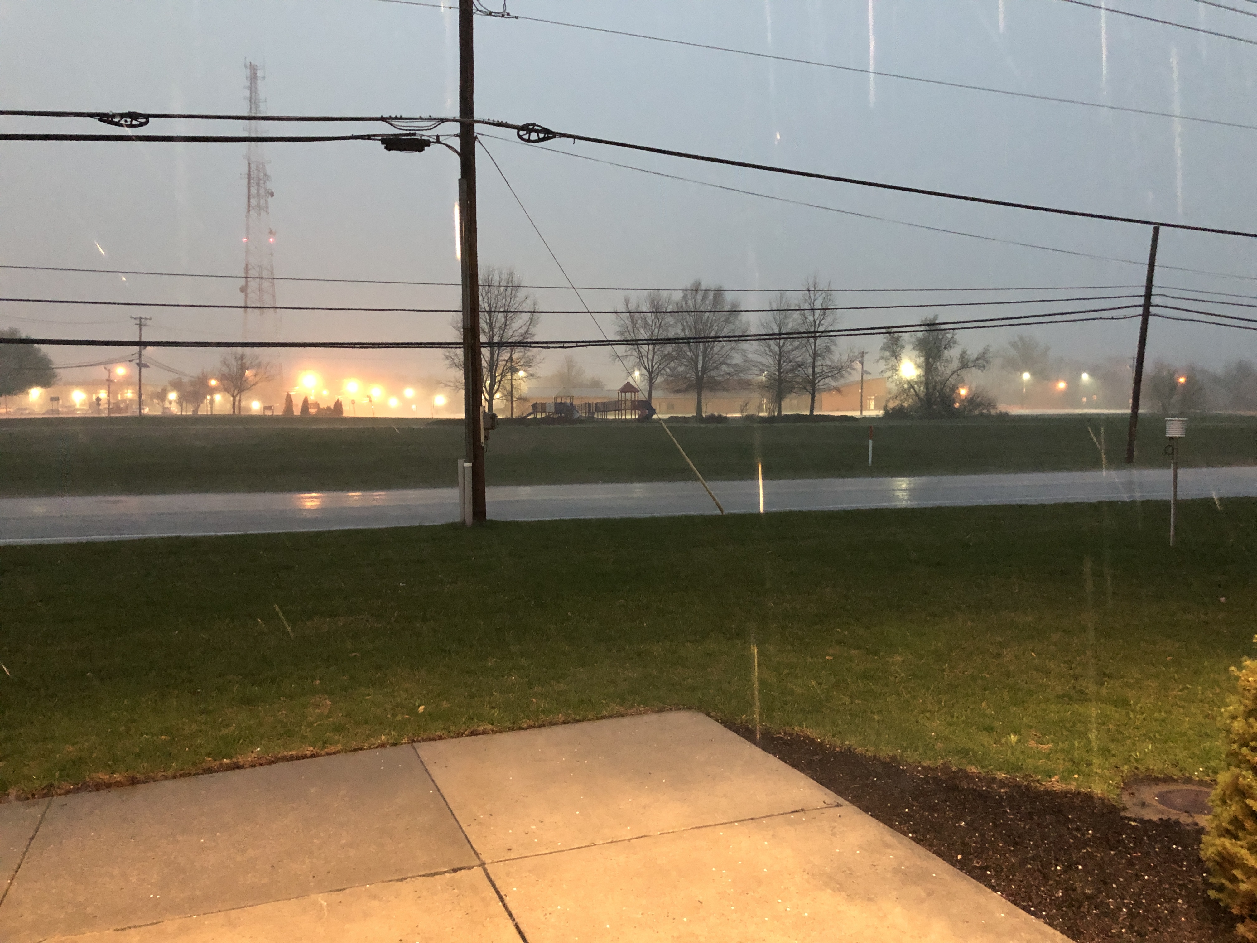
Ventura and Los Angeles counties began seeing sprinkles Saturday evening, according to the National Weather Service. The NWS described the rainfall as "light to moderate and spread out for several hours," KTLA reported. Most Southland communities can expect a quarter-inch to an inch of rain total.
Camarillo itself is expected to see even less. CamWX, a local National Weather Service spotter, posted Saturday that rainfall amounts for the area look modest, generally under a tenth of an inch per day. Isolated spots could receive up to a half-inch over the full event.
A separate North Pacific low-pressure system is reinforcing onshore moisture and could pull additional rain from Rachel's remnants, according to KEYT meteorologist Shawn Quien. That interaction is why rain chances could linger into early Monday.
The NWS expects precipitation to last through Monday, with most of Southern California dry by early Tuesday morning, KTLA reported. Thunderstorms remain possible and could produce brief heavy rain, though chances are low.
Temperatures are dropping sharply from the recent heat. Camarillo highs are forecast in the upper 60s Sunday and mid-60s Monday, according to CamWX. A warming and drying trend begins Tuesday as high pressure builds. By Wednesday through Friday, increasing offshore pressure gradients could produce the first Santa Ana wind event of the season.
The NWS warned of wet and ponded roads, enhanced traffic slowdowns and a risk of moderate flooding over San Gabriel Mountain roads and the Summit Burn area.
In a county press release Friday, Oct. 9, Patrick Maynard, director of the Ventura County Sheriff's Office of Emergency Services, urged residents not to wait for an official evacuation order if they feel unsafe, warning that hazardous conditions can change rapidly.
Ventura County's Public Works Agency has removed more than 235,000 cubic yards of material from detention basins and waterways ahead of storm season. Sandbags are available at 24 Ventura County Fire Department stations countywide.
Residents can sign up for emergency alerts through VC Alert at ready.venturacounty.gov and monitor conditions at vcemergency.com.