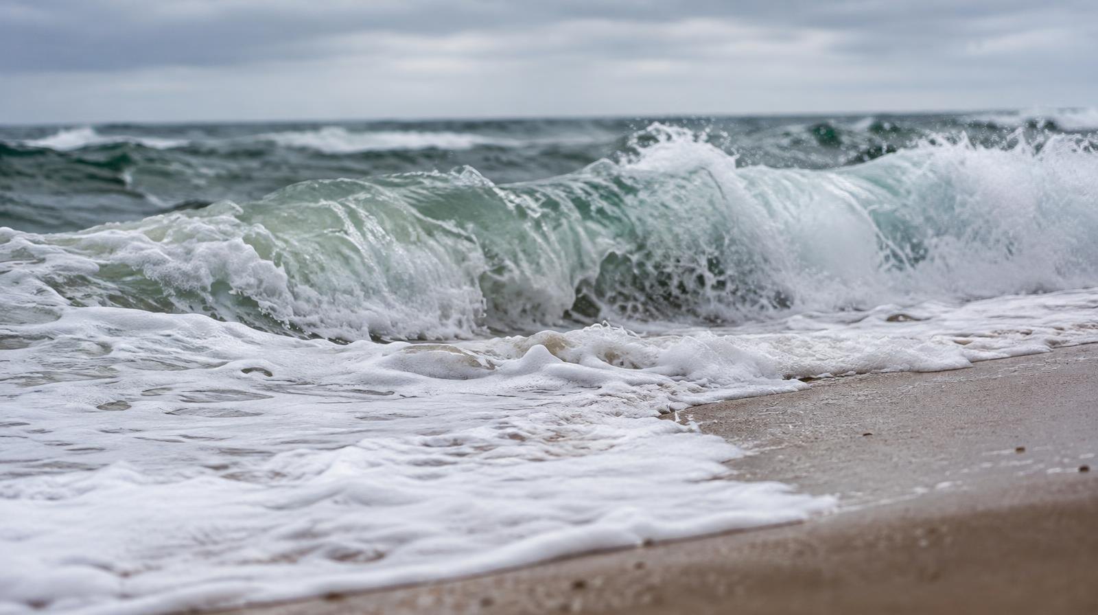
Breaking waves up to 7 feet and coastal flooding are headed for Ventura County beaches early this week as swells from Hurricane Polo push north.
The National Weather Service's Oxnard office issued a Beach Hazards Statement Saturday, Sept. 26, warning of dangerous rip currents and elevated surf through 5 a.m. Monday, Sept. 28. A Coastal Flood Advisory and High Surf Advisory take effect at 5 a.m. Monday and run through 5 p.m. Tuesday, Sept. 29.
The advisories cover Ventura County beaches and other south-facing stretches of the Southern California coast.
What to expect
The weather service forecasts breaking waves of 4 to 7 feet along Ventura County beaches, with strong rip currents. Moderate flooding of seawater is expected in low-lying coastal areas around high tide, including beach parking lots, bike paths and harbor walkways. Moderate to locally significant beach erosion is also likely, with possible localized damage in the most vulnerable spots.
The weather service identified Avalon and Long Beach as the areas of most concern for coastal flooding. The advisory still covers Ventura County beaches for surf and flood hazards.
Lisa Phillips, a meteorologist at the NWS Oxnard office, told the Los Angeles Times that high tides will compound the surf. "Ocean water is going to creep up higher than normal," Phillips said. "We also have high tides going on at the same time as the higher surf, so that's when we start to see more of those coastal flooding impacts, beach erosion."
The weather service noted that while the surf will likely be smaller than what Hurricane Marie produced earlier in September, lingering erosion from that storm makes the coast more vulnerable to flooding.
Hurricane Polo generating the swells
Polo, a Category 4 hurricane with sustained winds of 140 mph, is on track to make landfall in Baja California Sur on Monday, Sept. 28, according to the Los Angeles Times. The storm is not expected to reach California, but its swells are pushing dangerous surf hundreds of miles north. A second Pacific hurricane, Odalys, with 90-mph winds roughly 900 miles west of Baja's southern tip, is also contributing to the swell.
Safety guidance
The weather service warns of an increased risk of ocean drowning. Rip currents can pull swimmers and surfers out to sea. Large breaking waves can injure beachgoers, wash people off rocks and capsize small boats near shore.
The NWS advises residents to stay out of the water or remain near occupied lifeguard towers. Stay off rock jetties. Drivers should not go around barricades or enter water of unknown depth.
Camarillo and Moorpark residents can pick up free sandbags at Ventura County Fire Department stations to prepare for coastal impacts, NBC Los Angeles reported. Residents should call their local VCFD station to confirm availability and bring their own shovels. Some locations may require proof of residency.
The National Weather Service will post advisory updates on its Los Angeles/Oxnard office page.