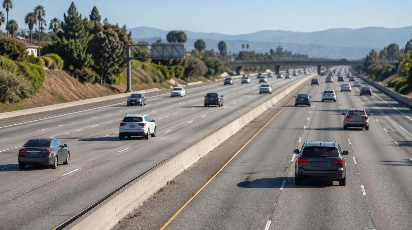
The Ventura County Transportation Commission (VCTC) has finished a major overhaul of its countywide traffic model, replacing a decade-old version with new data that will shape how Camarillo, Moorpark and other local cities evaluate development and road projects for the next several years.
Andrew Kent, VCTC's program manager for transportation data and services, presented the updated Ventura County Transportation Model (VCTM) at the commission's Nov. 6 meeting at Camarillo City Council Chambers. The commission agenda recommended commissioners receive and file the presentation.
The previous public model used a 2016 base year and a 2040 forecast horizon. The new version jumps to a 2025 base year and extends projections to 2050, according to the VCTC's model webpage. It reflects updated land use assumptions, refined transportation networks and revised demographic forecasts developed with Ventura County cities.
Why it matters locally
The model provides granular Vehicle Miles Traveled (VMT) data that cities use for environmental review under Senate Bill 743. That 2013 state law requires local governments to measure a project's transportation impact by VMT rather than intersection congestion. Every housing subdivision, commercial center or road-widening proposal in Camarillo and Moorpark runs through this analysis during the California Environmental Quality Act (CEQA) process.
The VCTM also supports grant applications for transportation projects, in-house planning scenarios and air quality analysis, according to Kent's presentation.
What the 2025 baseline shows
For the 2025 base year, the model estimates Ventura County's population at 845,599, with 2,117,888 daily trips generating 17,276,532 daily vehicle miles traveled. The countywide home-based VMT averages 16.0 miles per person, and work-based VMT averages 16.2 miles per employee, according to the model's SB 743 dashboard.
A staff memo to the commission described "moderate travel demand growth countywide compared to the prior forecasts." The memo attributed the slower growth to downward revisions of regional demographic forecasts and lasting effects of the COVID-19 pandemic on travel behavior.
The memo also noted "a varied picture of VMT and expected congestion impacts across local jurisdictions." It stated that baseline forecast VMT and delays will be largely influenced by planning for expected residential development and buildout of planned transportation projects, including the US 101 HOV Lane Project.
Post-COVID and Santa Barbara additions
Two major improvements distinguish the new model from its predecessor. The 2025 base year captures post-pandemic travel patterns, a significant shift from the pre-COVID data underlying the old version. The model network also now extends into Santa Barbara County, giving planners a broader picture of regional travel.
The model's 2025 validation meets state and federal guidelines, with strong agreement to observed traffic counts, according to the VCTC webpage.
What comes next
VCTC expects the updated model to serve the county's planning needs into the early 2030s, with budgeted consultant support for minor updates and scenario analysis. Staff will then evaluate two paths: continuing to update the legacy four-step travel demand model, which the Southern California Association of Governments (SCAG) no longer supports, or building a new Activity-Based Model. The staff memo noted the activity-based approach better approximates traveler behavior but costs more to develop and maintain.
The VCTC's next commission meeting is scheduled for Dec. 4 at Camarillo City Council Chambers, 601 Carmen Drive. Residents can explore the model's interactive maps and VMT dashboard at goventura.org/vctm or contact Kent at [email protected].